Raroia 16°01′S 142°26′W

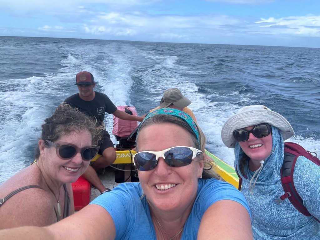
Time to leave the Marquesas and sail onto the Tuamotus. We have guests coming and need to be in the area. The sail was okay, not great, not wonderful, just okay. First day was slow, second night was full of squalls. FULL. Like three or four an hour all night long. One wave picked me up from one side of the salon and placed me in front of the sink on the other side. We went from 4 knots to almost 30 knots in less than 5 minutes. I went down to wake Mark, as he was on his off-shift and sleeping in the middle of the night, onlhy to find that he was already awake and coming topside. He stayed up for a bit, assessing the situation. There was really nothing much to do. The sails were configured conservatively because we needed to make a slow journey. Sailboats can only enter the lagoons of the Tuomotus when the tide is neither coming into, or going out of, the lagoon. This occurs four times a day. Two during the day and two at night. Since night entry is not safe, that gives us two times in the day in which we can safely navigate the pass(es).
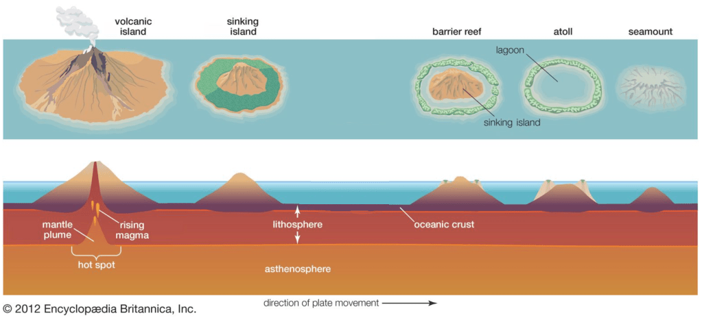
First it’s best to explain what an atoll is and why there are “passes”. One way an island forms is through volcanic action. Magma breaches the ocean surface and creates islands. Like Hawaii. As the mantel shifts, new islands are formed. Kauai’i is the one of the oldest islands and is lush and fertile. The Big Island is one of the newer islands and volcanic eruptions continue to occur creating greater landscape/area. French Polynesia is exactly like Hawai’i. Just on the other side of the equator. Atolls are formed when coral reefs begin to surround the volcano through time while the volcano sinks back into the ocean. While the volcano eventually drops below the ocean’s surface, the barrier reef continues to grow creating the atoll.
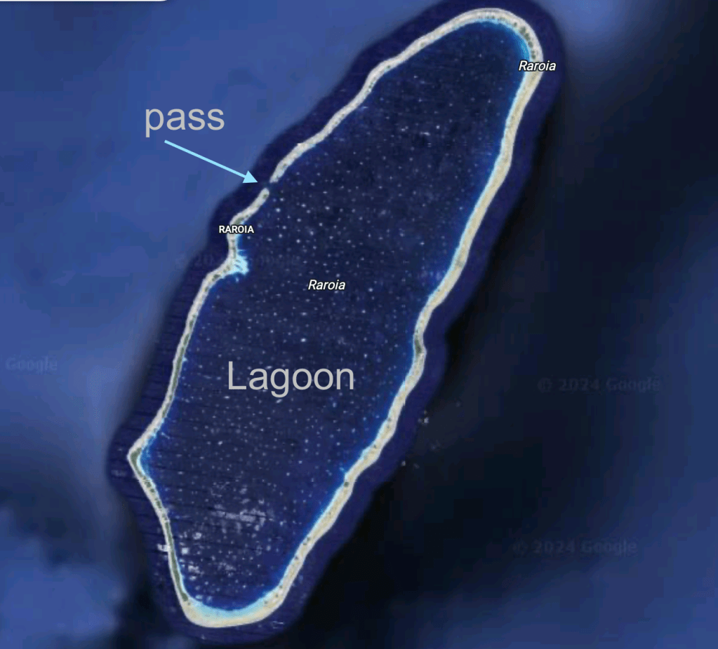
Now let’s discuss the lagoon in the atoll. As oceanic tides continue dependant on the cycle of the moon, water comes in and out of the center created by the fallen volcano. This current creates “passes” in the atoll. And it is through these passes that boats can enter the lagoon. We have to “catch the pass” at either high tide or low tide, also called Slack Tide when the water is neither flowing in nor out. Missing the slack tide means you stay at the mouth of the pass until it comes time again for the next slack. Trying to navigate through an ebb or flow tide could spell disaster. Moving water has more force than boat engines and can take a boat where we don’t want it to go, e.g. rocks, reef, other boats, navigation pilars, etc.
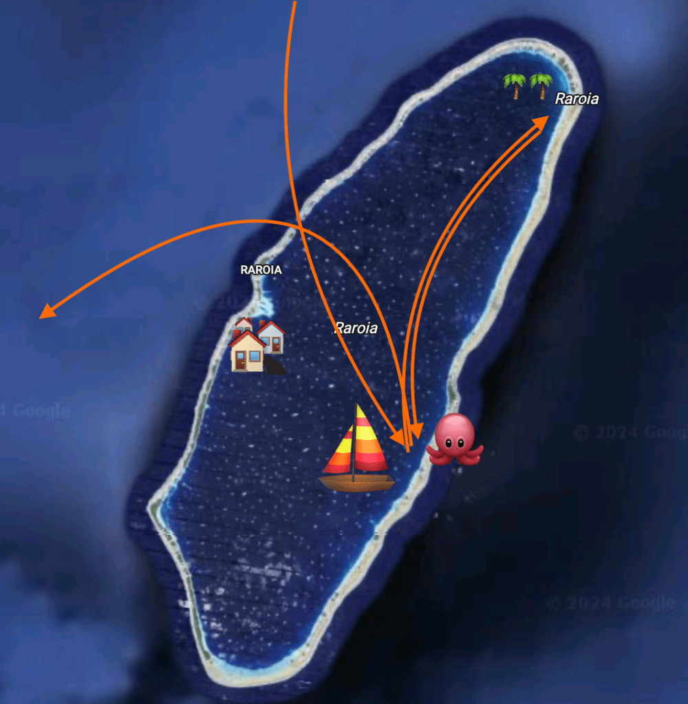
Once safely anchored, we visited with friends and met several times for snorkeling.
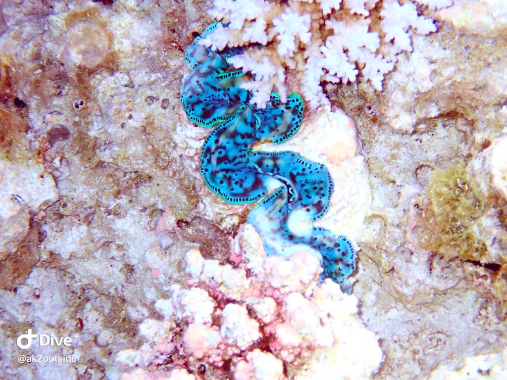
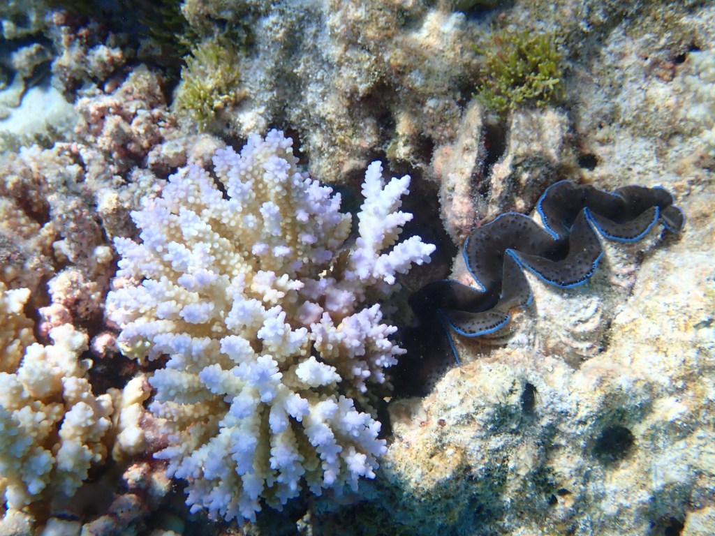

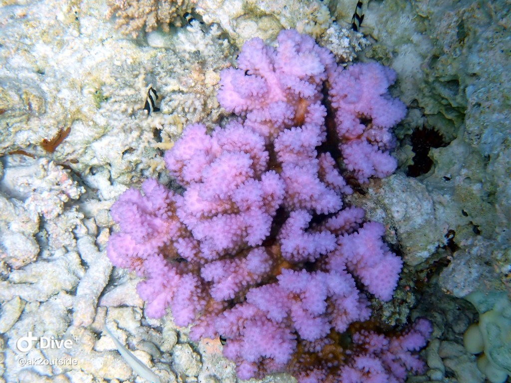
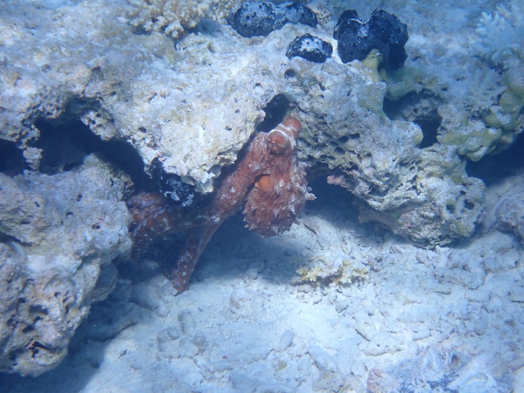
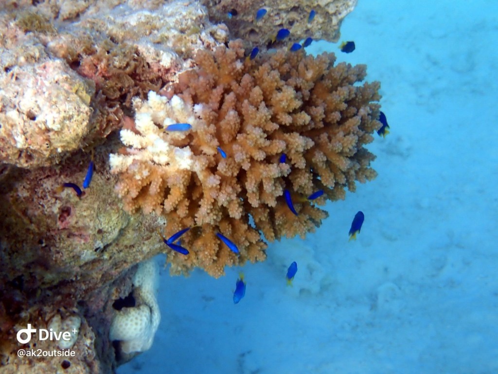
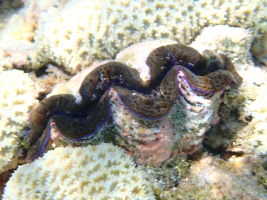
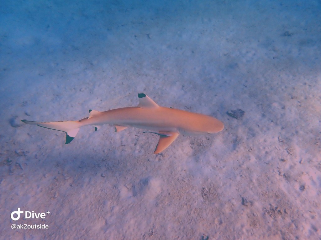

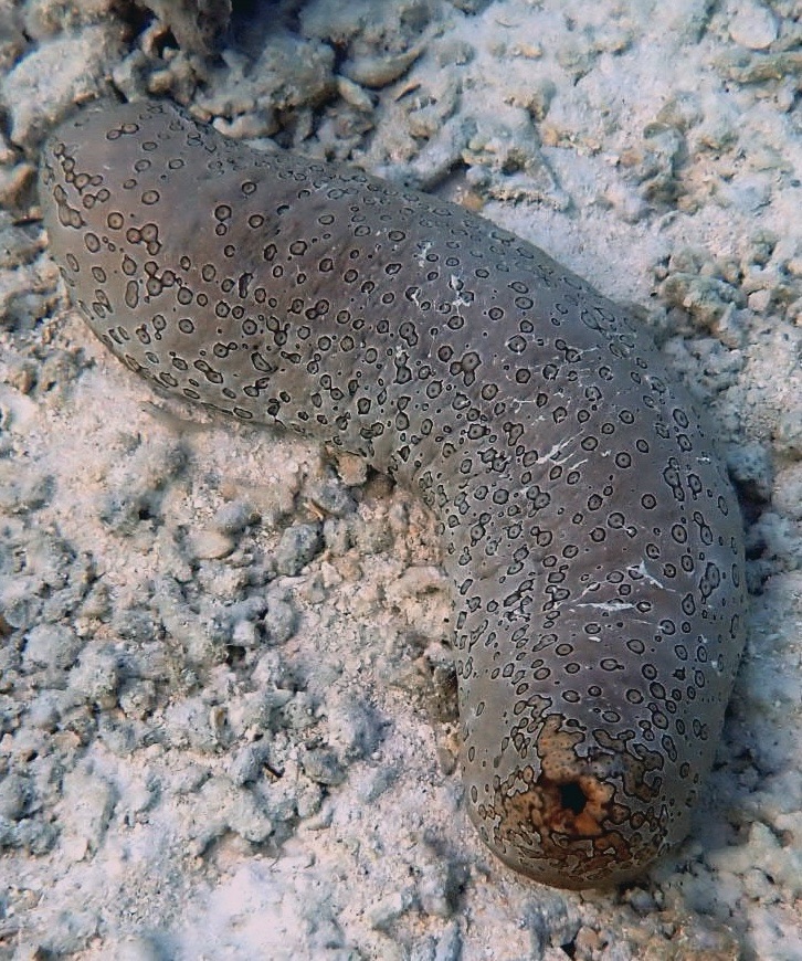
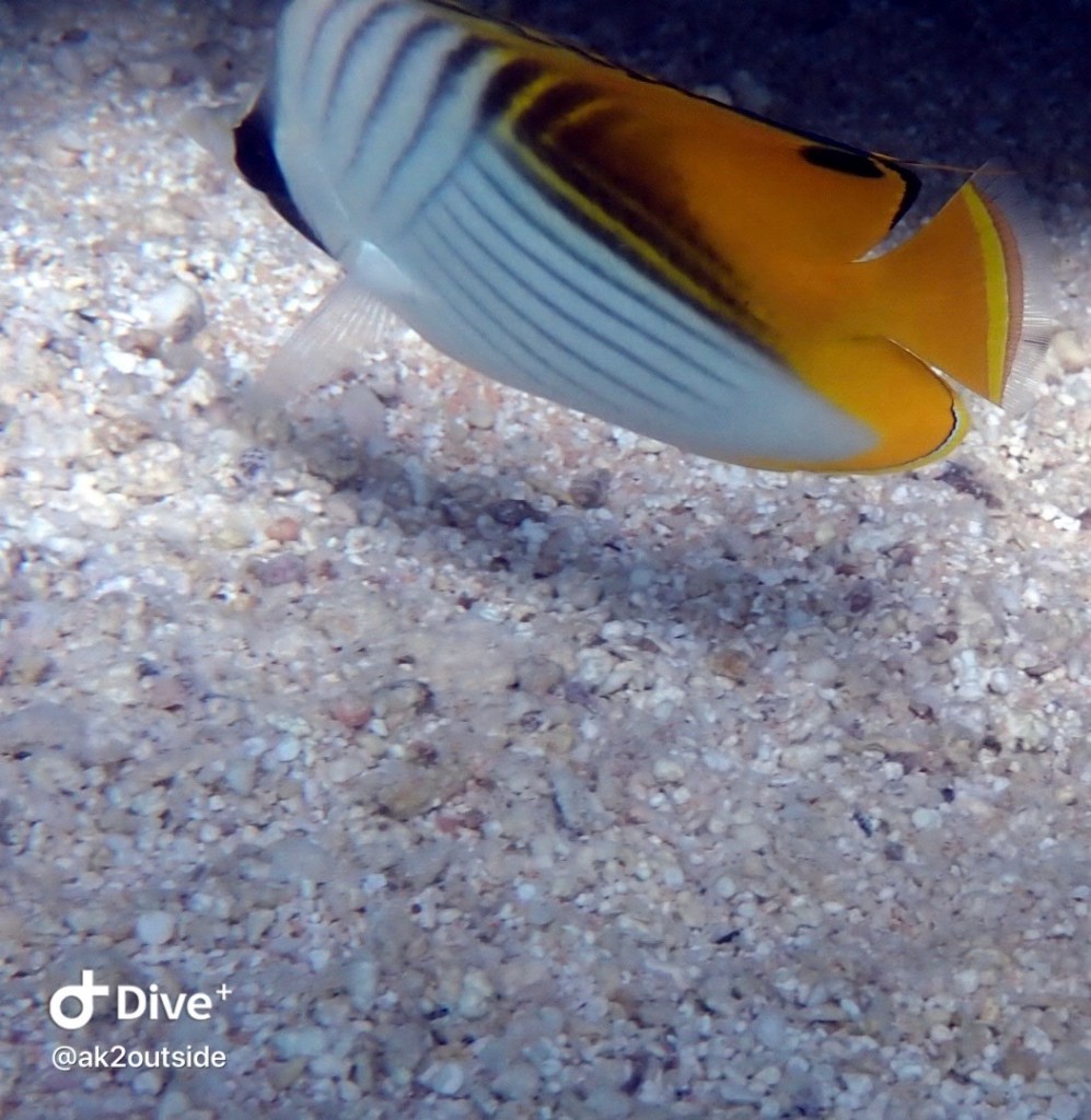

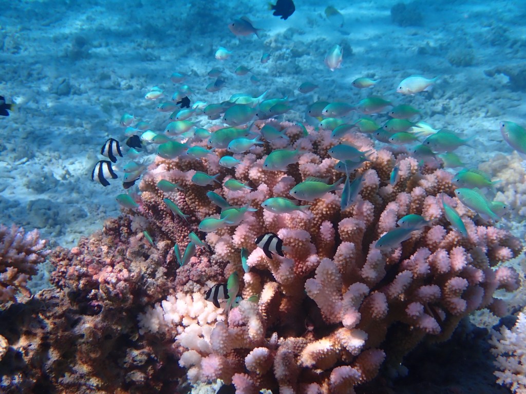
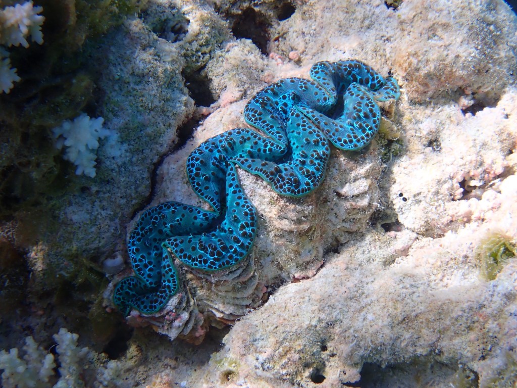

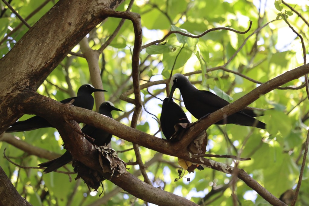
Ann on s/v Tourterelles created an impromptu WhatsApp group with all the neighboring yachts joining in. We coordinated a quite a few dinghy meets up near shore at sundown, some snorkeling trips nearby, octopus hunting, and notifications when we saw manta rays. Well, one morning Mark noticed more than the usual amount of mantas under our boat so I jumped in to have a look. After swimming for a while and taking pictures, I needed to get out of the water to figure out how to record video on my dive camera since the GoPro died a horrible death. While the Olympus TG-6 takes some stunning macro photos, it really doesn’t have the ease that the GoPro did. So while I was out of the water fussing with camera settings, I jumped over to the localized WhatsApp group and let everyone know there were a dozen or so manta rays feeding under Nanook. Within minutes, many sailors were geared up and swimming with the manta rays.
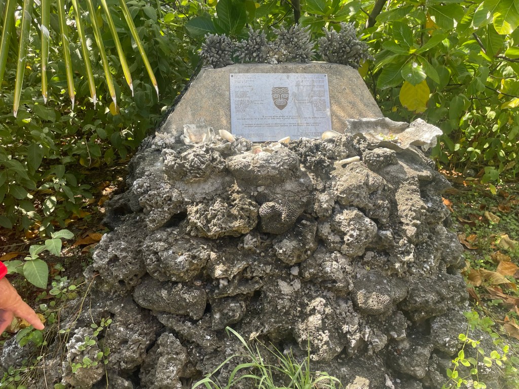
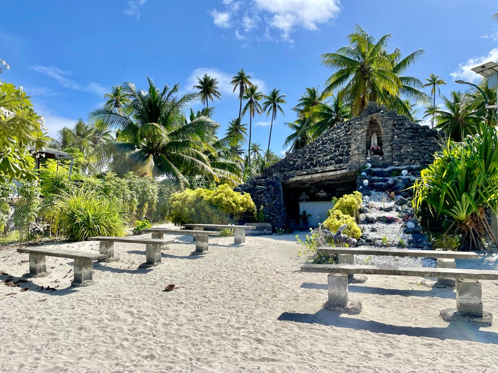
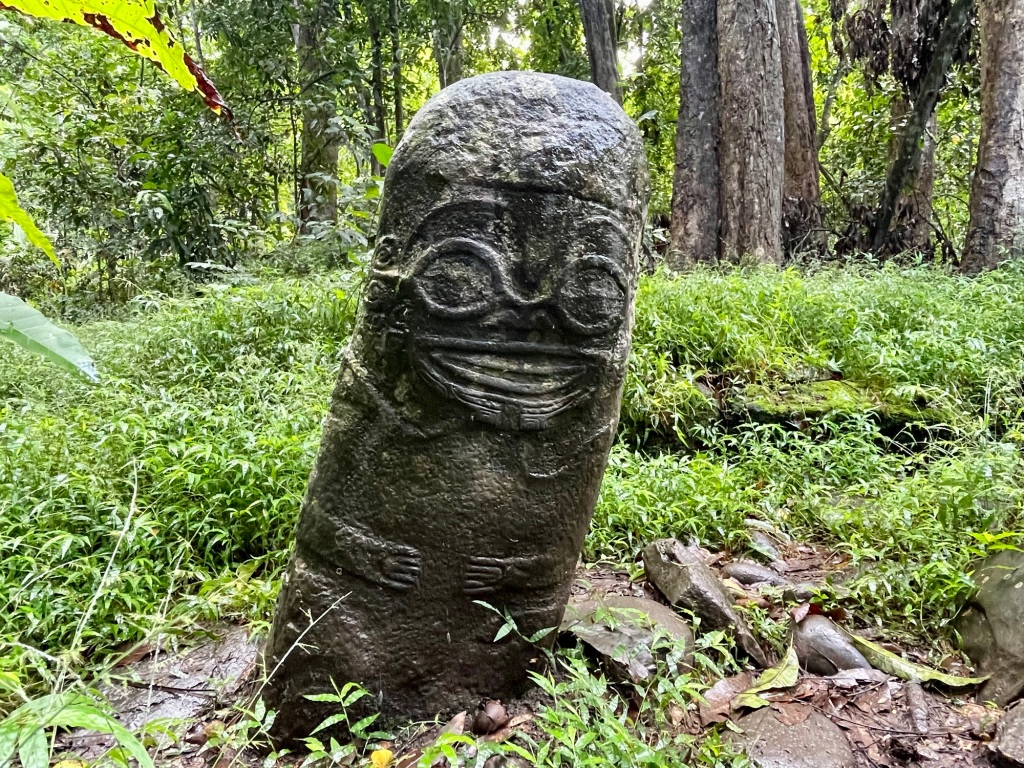
Feeling the desire for some land based entertainment, we took the dinghy over to the memorial for the landfall of Kon Tiki. If you are not familiar with the story: https://www.britannica.com/topic/Kon-Tiki-raft

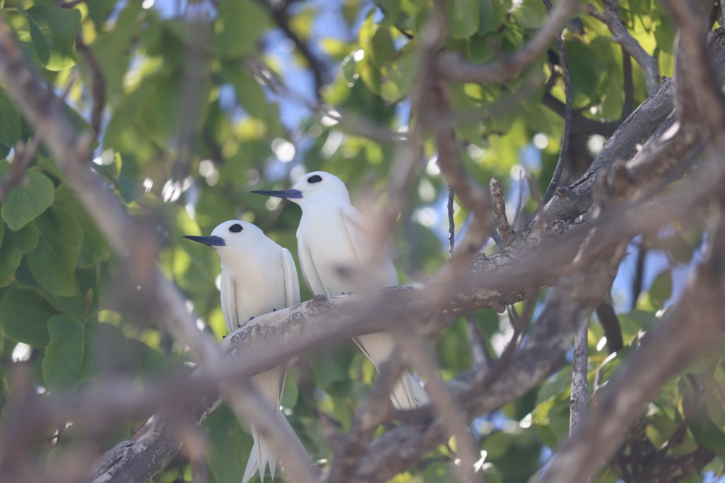


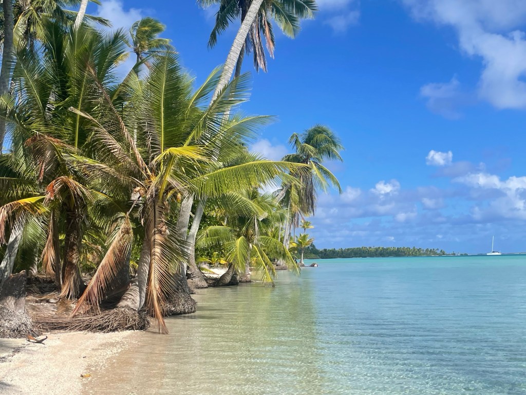
A couple days after enjoying the camaraderie, we lifted anchor and motorsailed north to the Twin Palms Yacht Club to have a look around. Getting to the beach, we easily found the helmets that save your skull from being cracked by falling coconuts and enjoyed the beach. Previous sailors had set up “the clubhouse” and subsequent sailors leave their mark by improving the beach. There is a burn pit, a coconut stake, hard hats, burgee hangers, and general merriment making items. We enjoyed our time, but missed our friends, so we sailed back to the southern anchorage.


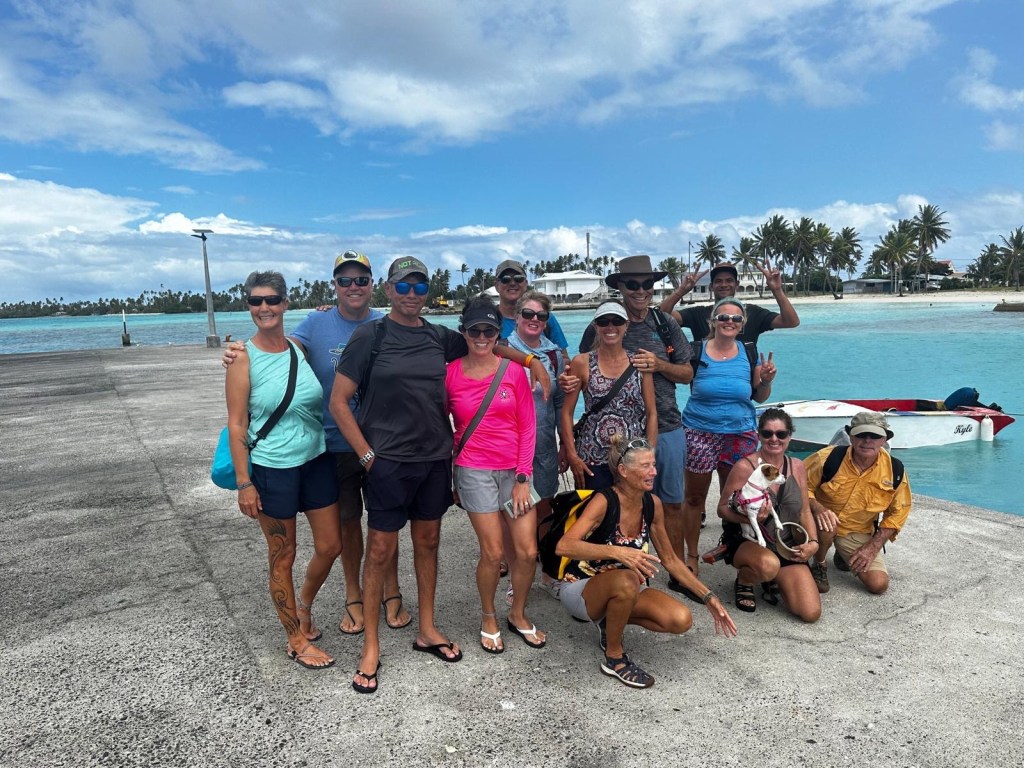
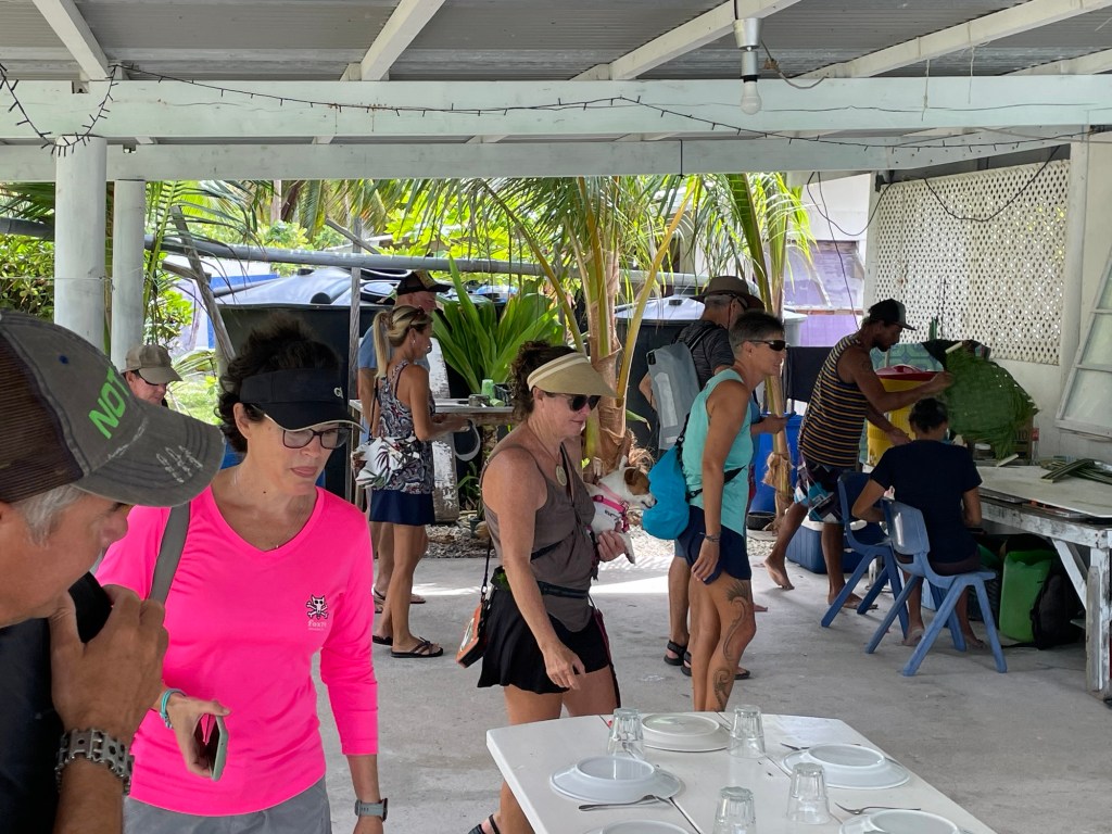
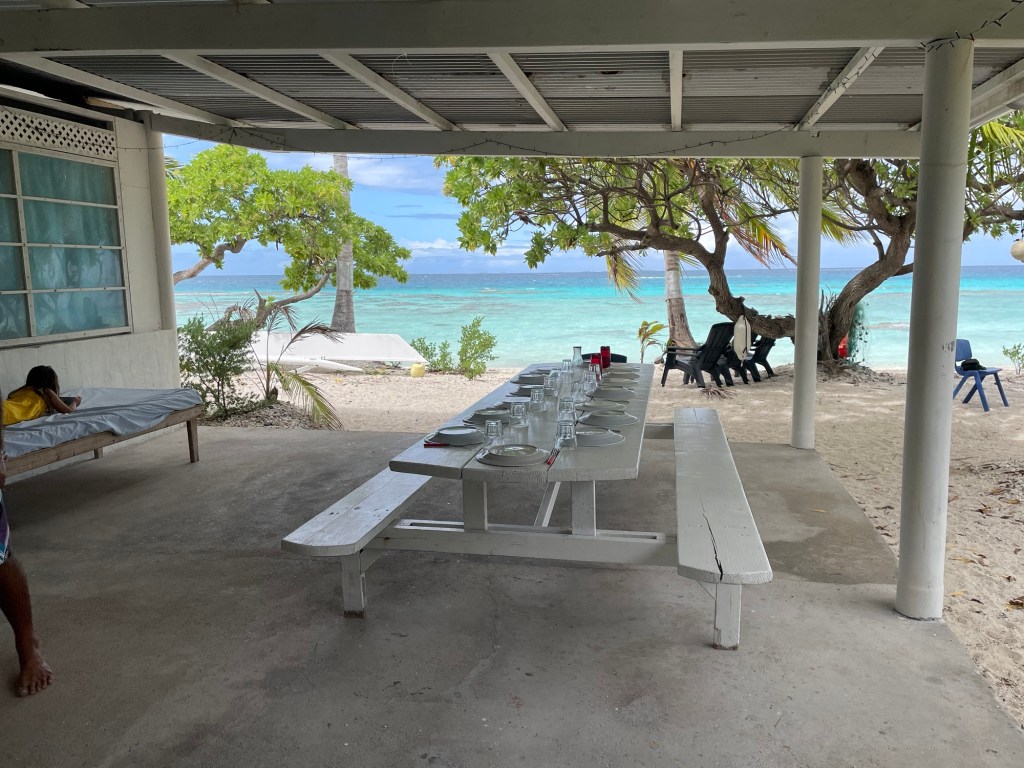
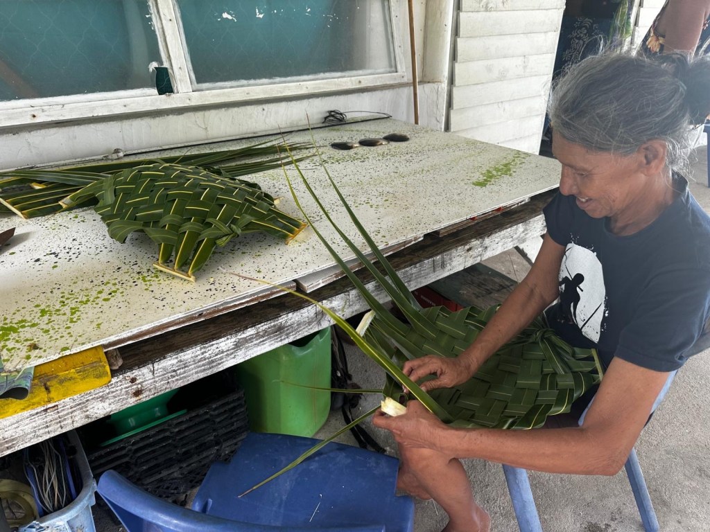
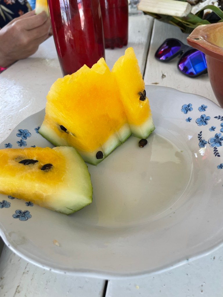
We tried visiting town by our own boat, but the leeshore did not make me comfortable, so we were pleased that upon our return to the southern anchorage, the group had planned a guided tour with lunch over to the village. Early the next morning we were picked up by speed boat and wisked away to town for a stroll and a fish lunch.


As weather windows open when they want to, we needed to head west in the archipelago to meet up with Monica and Jon, so we sailed away to Rangiroa.
Don’t forget to leave a “like” for the blog post and the video. Feel free to share and become a subscriber to the YouTube channel and blog.


Leave a comment